Welcome to NEMETODE
Network for Meteor
Triangulation and Orbit Determination
Nodes
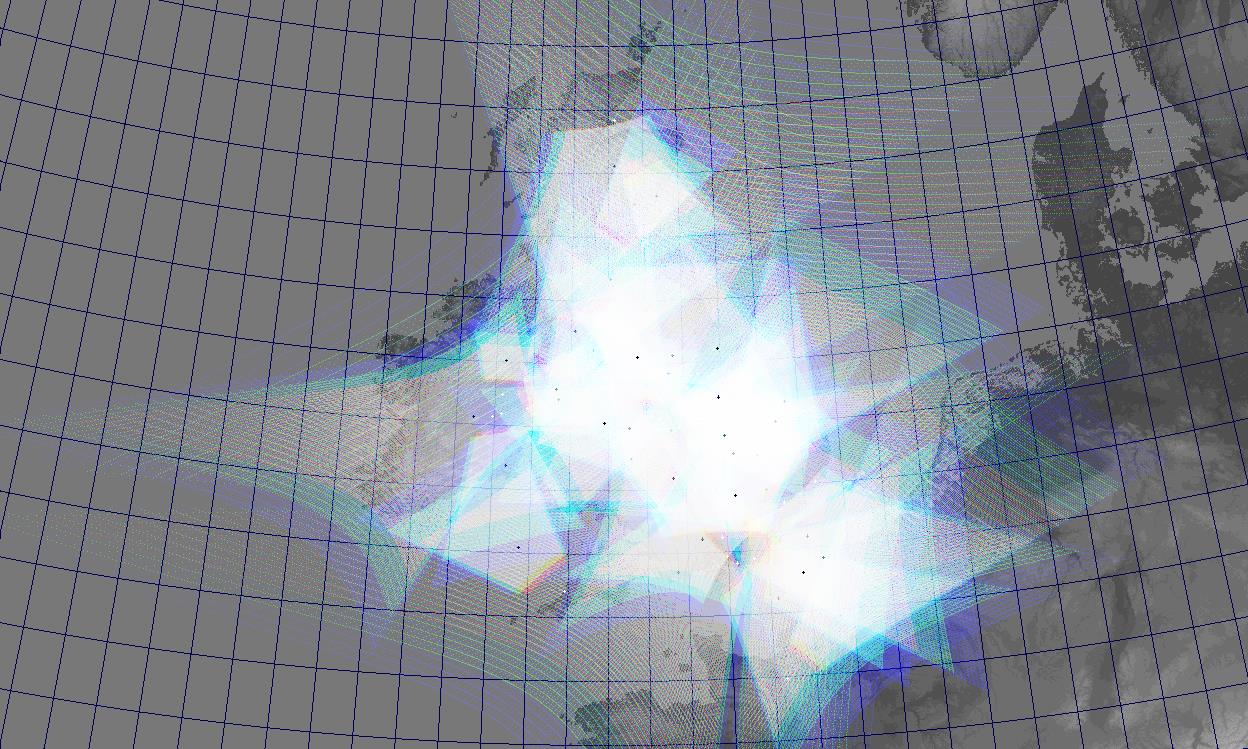
As can be seen from the ablation layer coverage map shown below, the 35 nodes contributing to the network are spread widely across the British Isles. In many cases each node has multiple cameras. Specific details for each node are available here.
The different colours represent different altitudes above the ground. Typically, meteors are visible between altitudes of 80 and 120km (over 10 times the typical cruising altitude of a passenger jet). The red represents 80km, the light blue 100km and the dark blue 120km. The almost transparent white is where there is single station coverage of a layer between 80km and 120km while the almost opaque white is where there is at least dual station coverage of a layer between 80km and 120km.
It should be noted that coverage does not necessarily equal detectability. Just because a meteor occurs within the field of view of a camera, it does not necessarily follow that the meteor will be detected. If the meteor is not sufficiently bright compared to the background sky then the camera will not record it. Factors such as local light pollution, atmospheric extinction and moonlight all conspire to reduce detectability. Some of the NEMETODE cameras are located in relatively dark country locations with minimal light pollution - while this is a significant advantage, experience shows that unless the meteor is particularly bright, meteors are not often detected beyond a range of 250km from the cameras. The camera alignments shown below have taken this into consideration and have been selected to optimise the multi station capture ratio.